Trail Details
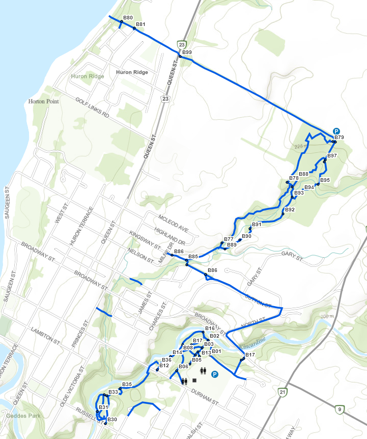
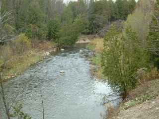
In 2014 the Blue Trail officially became connected to the Red Trail by a section of trail between Russell St. and Durham St. If you are visiting the Davidson Centre, take the opportunity to explore the myriad of trails that surround the complex. Walk along the North Penetangore or take one of the many side trails. Or head to the North Line Extension (NLE) trail that offers a parkland trail and quiet bush scenery. At its northern terminus it also connects to the shore of Lake Huron shore where you can then join onto the Pink Trail. Contains some steep slopes, log steps, varied terrain and trail widths.
- Length: ~9km
- Difficulty Rating: 2-3 (See scale)
Highlights
- Lake access
- Davidson Centre
- Russell and Durham Street connection
- Broadway and Sutton Street businesses
Additional Information
- Parking:
- Davidson Centre
- North Line Extension
Guided Tour
The Davidson Trails can be accessed from various points. Good parking can be found at the Davidson Centre. If you are walking on Durham St. the trail begins just east of the bridge (B12). Walk around the gate and beyond the playing fields into the woods at the bottom of the hill (B14)
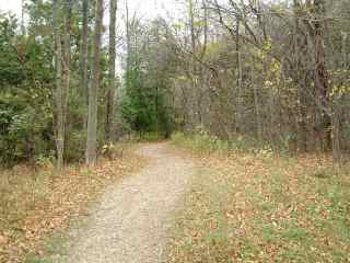
Follow the trail beside the Penetangore River until you get to (B09). The trail to the right goes up a moderate hill and splits into many interesting loops.
Ultimately you will exit at various places behind the Davidson Centre.
Continuing along the rivers edge the trail will split into a loop at (B15) and come together again at (B16).
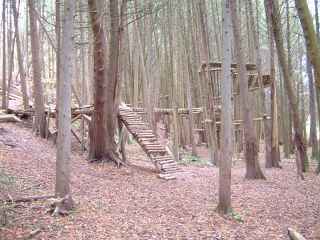
Between (B15) and (B16) on the easterly loop you will find some interesting ‘catwalks’ made from the limbs of fallen trees. Follow the trail being careful of the narrow places until you come to a gravel roadway. Walking up the roadway will take you to the water tower and Davidson Centre.
Maps & Resources
- 2024 Trail Map
- Trail Users Code
- Trail Map (ArcGIS)
- GPS Waypoints